OUR SERVICES
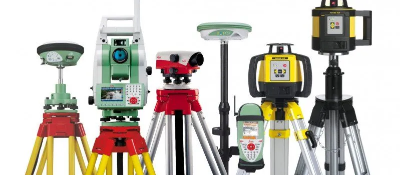
Equipment Sales
High-quality surveying equipment and tools for professionals and organizations in the geospatial industry.
Visit Store
Land & Property Sales
Professional land and property sales services with comprehensive survey documentation.
Read More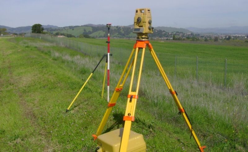
Land / Cadastral Survey
Precise determination of property boundaries, subdivision of land, and preparation of survey plans for legal titles.
Read More
Drone / Aerial Survey
Advanced UAV technology for high-resolution spatial data capture over large or inaccessible areas.
Read More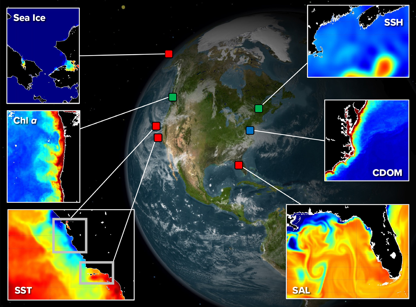
Remote Sensing & Mapping Services
Satellite and aerial imagery analysis for comprehensive mapping and spatial data collection.
Read More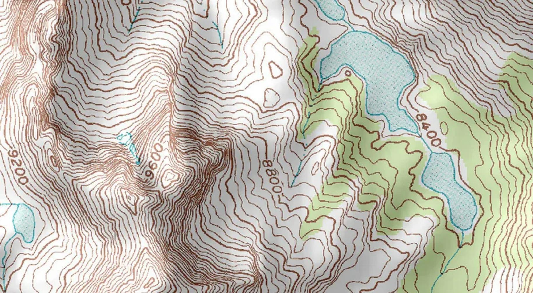
Topographic Survey
Detailed mapping of natural and man-made features to provide accurate terrain models for engineering projects.
Read More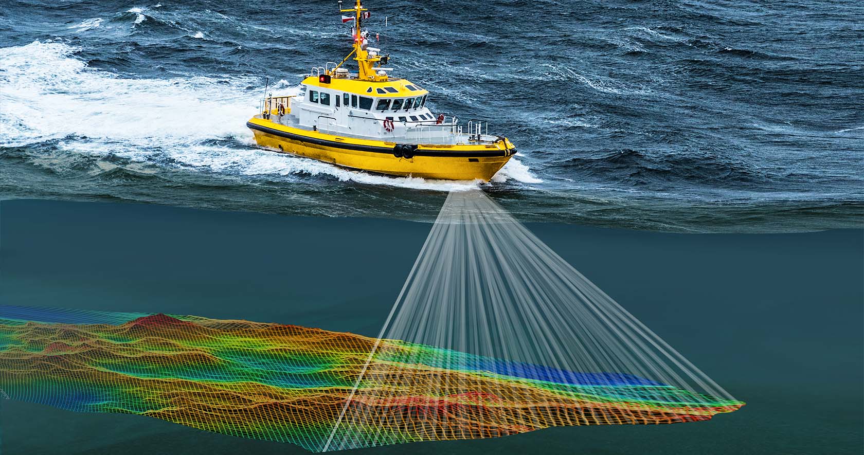
Hydrographic / Bathymetric Survey
Underwater topography mapping using specialized sonar equipment for marine construction and navigation.
Read More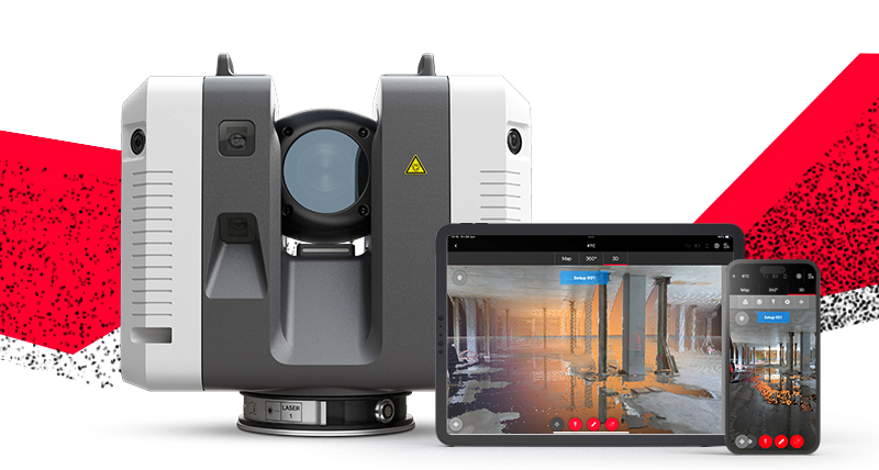
3D Laser Scanning
Millimetrically accurate 3D digital replicas of structures using point cloud technology.
Read More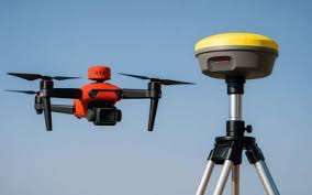
Professional Surveying & Geospatial Training
We offer training in GNSS surveying, total station surveying, drone mapping, 3D laser scanning, bathymetric surveying, AutoCAD, GIS, engineering surveying, and advanced LIDAR drone surveying. Our programs equip participants with practical skills in field data collection, processing, and analysis.
Read More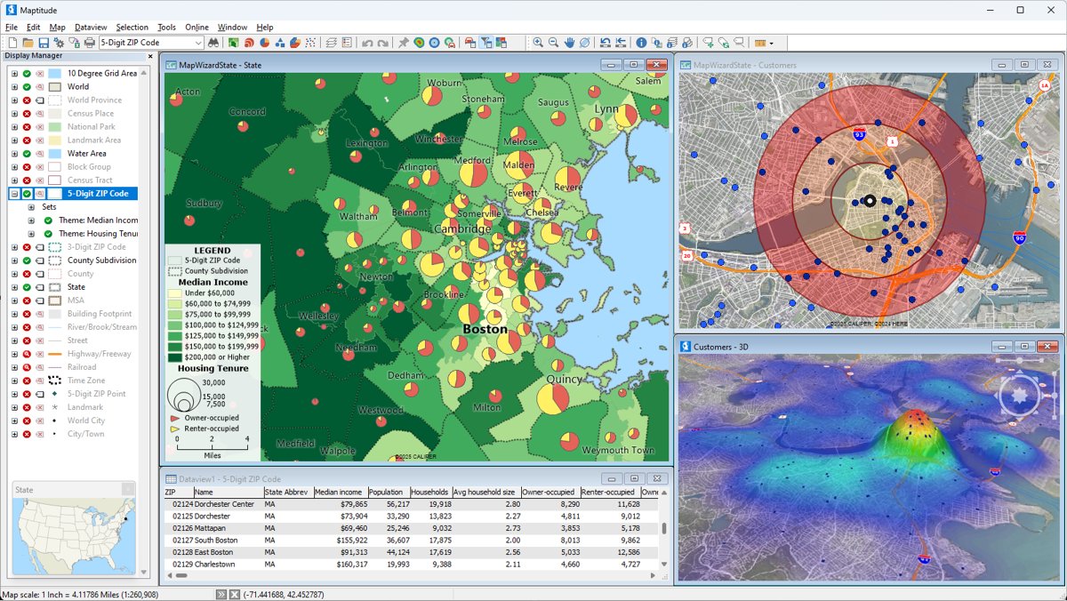
GIS & Spatial Data Analysis
Geographic Information Systems for spatial data visualization, analysis, and management.
Read More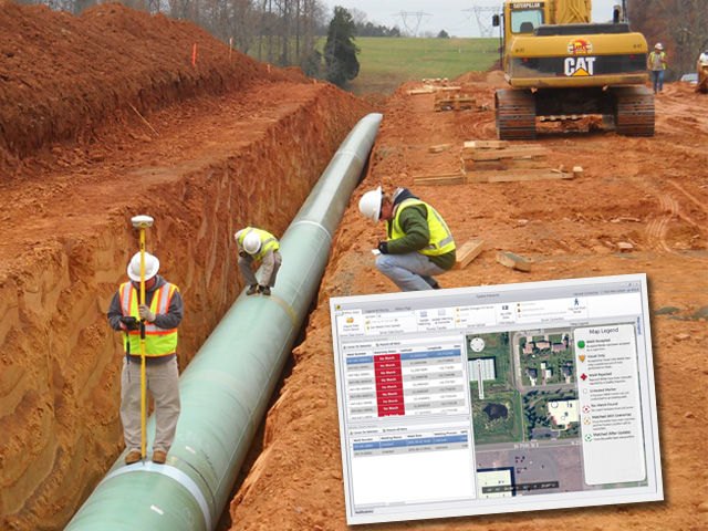
Pipeline Survey
Precise surveying for pipeline route planning, installation, and monitoring.
Read More
As-Built Survey
Documentation of completed construction projects to verify compliance with design specifications.
Read More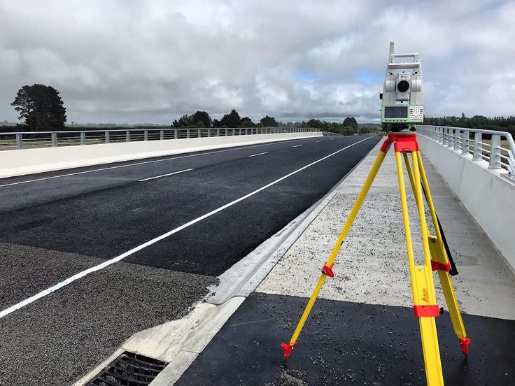
Route Survey
Comprehensive surveying for road, railway, and infrastructure route planning and design.
Read More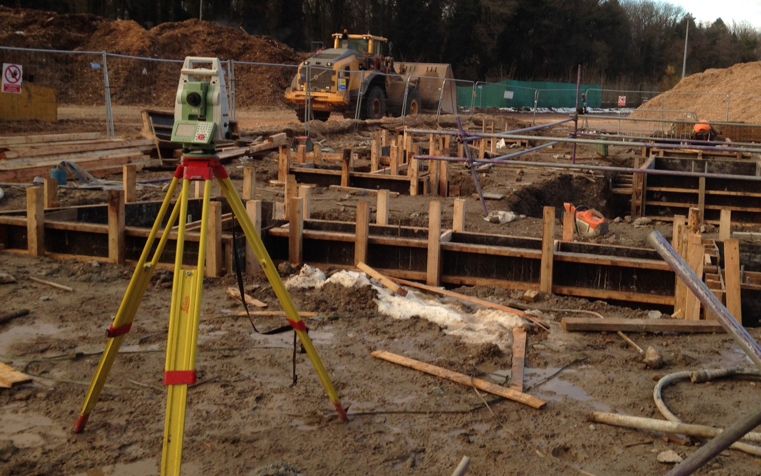
Setting Out Surveys
Precise positioning of construction elements according to design plans.
Read More