A multi-disciplinary geospatial consultancy firm headquartered in Ibeju-Lekki, Lagos
Delivering spatial data solutions with unmatched accuracy and reliability
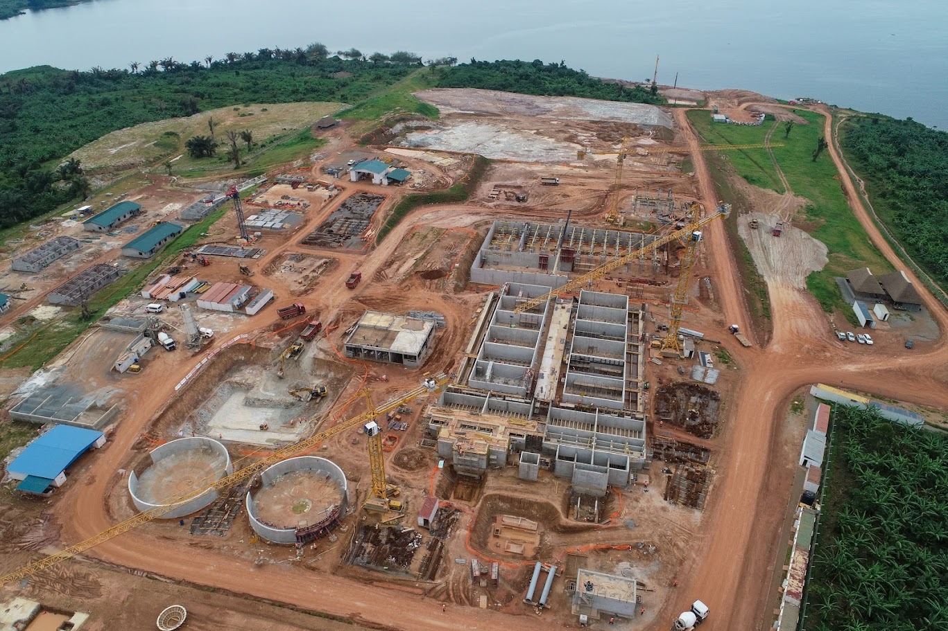
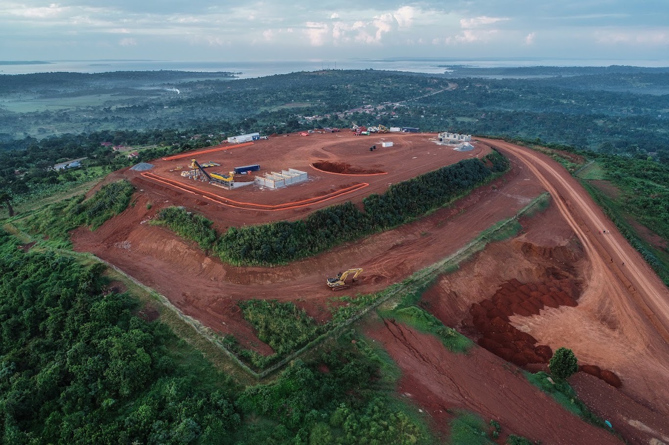
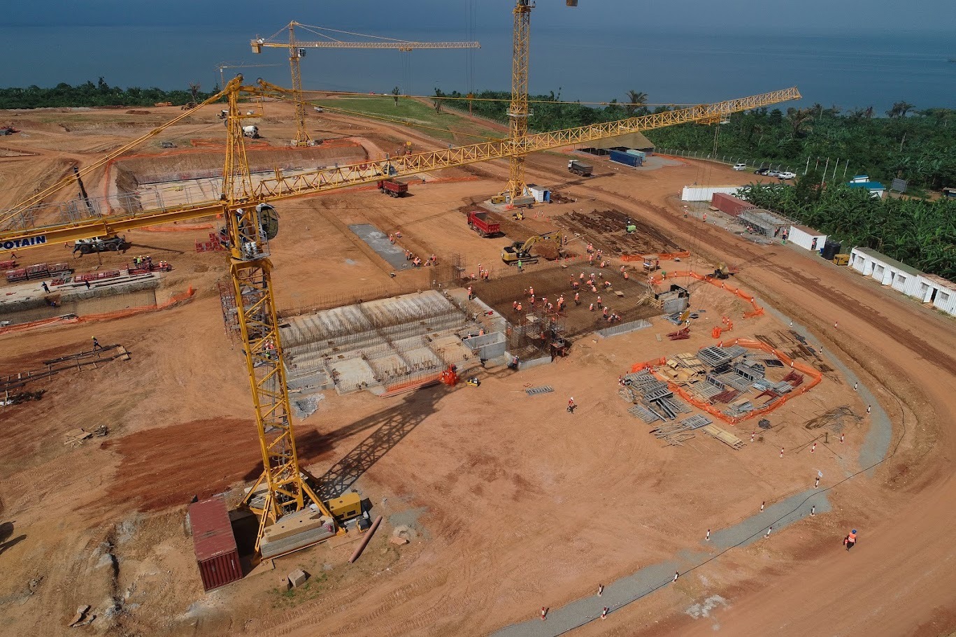
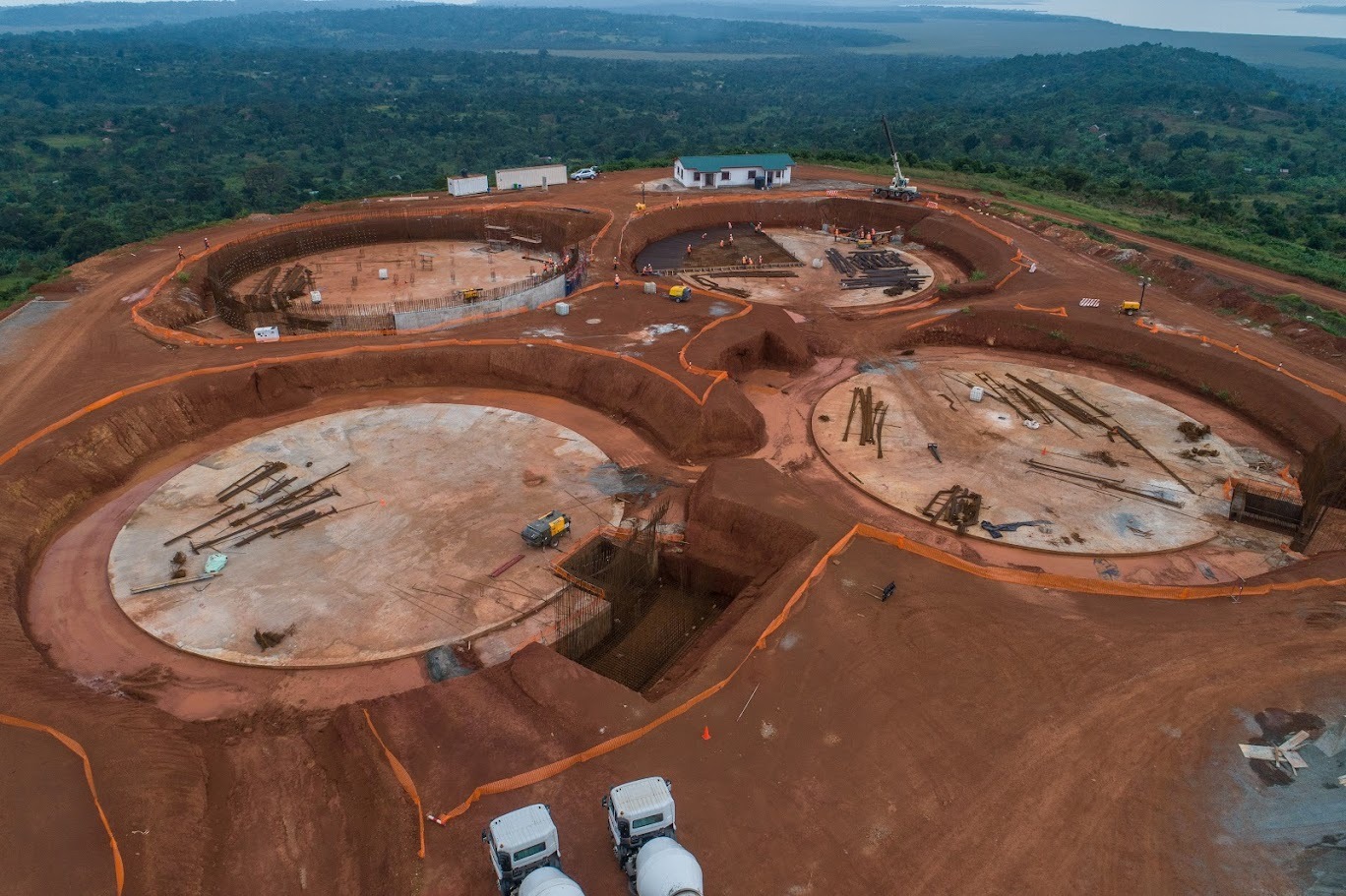
Powering infrastructure, real estate, and industrial development projects
To be the foremost provider of innovative geospatial solutions in Africa, recognized for transforming complex spatial data into actionable insights that drive sustainable development and urban growth.
To deliver precise, technology-driven geospatial solutions with the highest ethical standards, ensuring the legal and structural integrity of our clients' projects through timely and cost-effective professional practice.
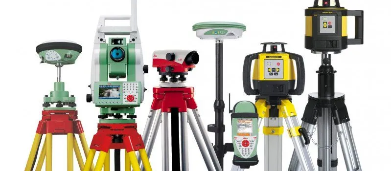
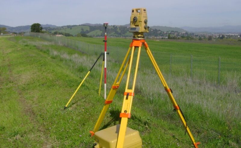
High-quality surveying equipment and tools for professionals

Professional land and property sales with survey documentation
Boundary demarcation, title surveys, and land acquisition support

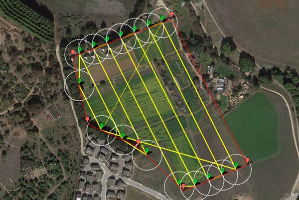
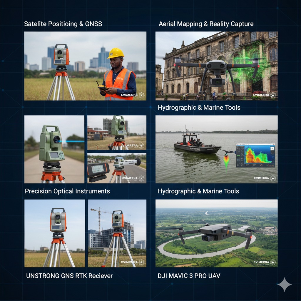
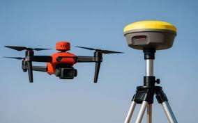
UAV technology for high-resolution spatial data capture
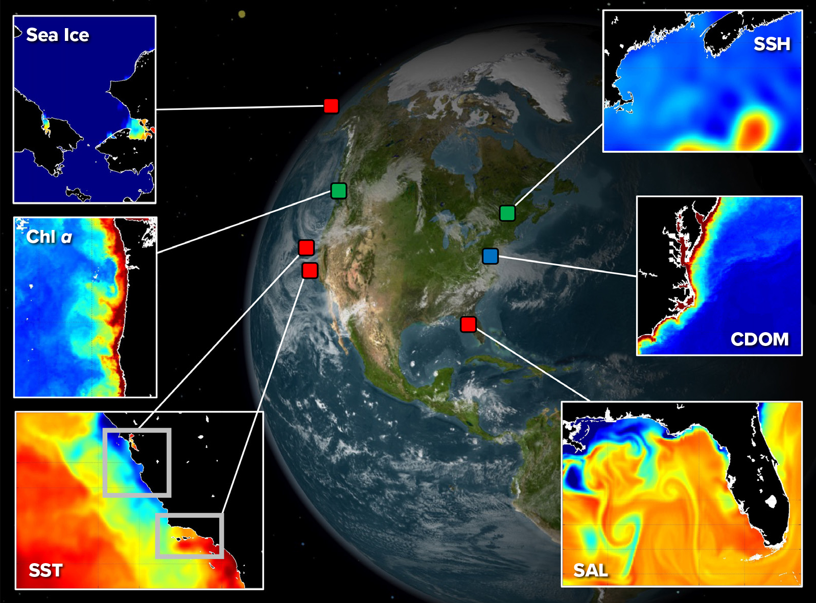
Satellite and aerial imagery analysis for mapping
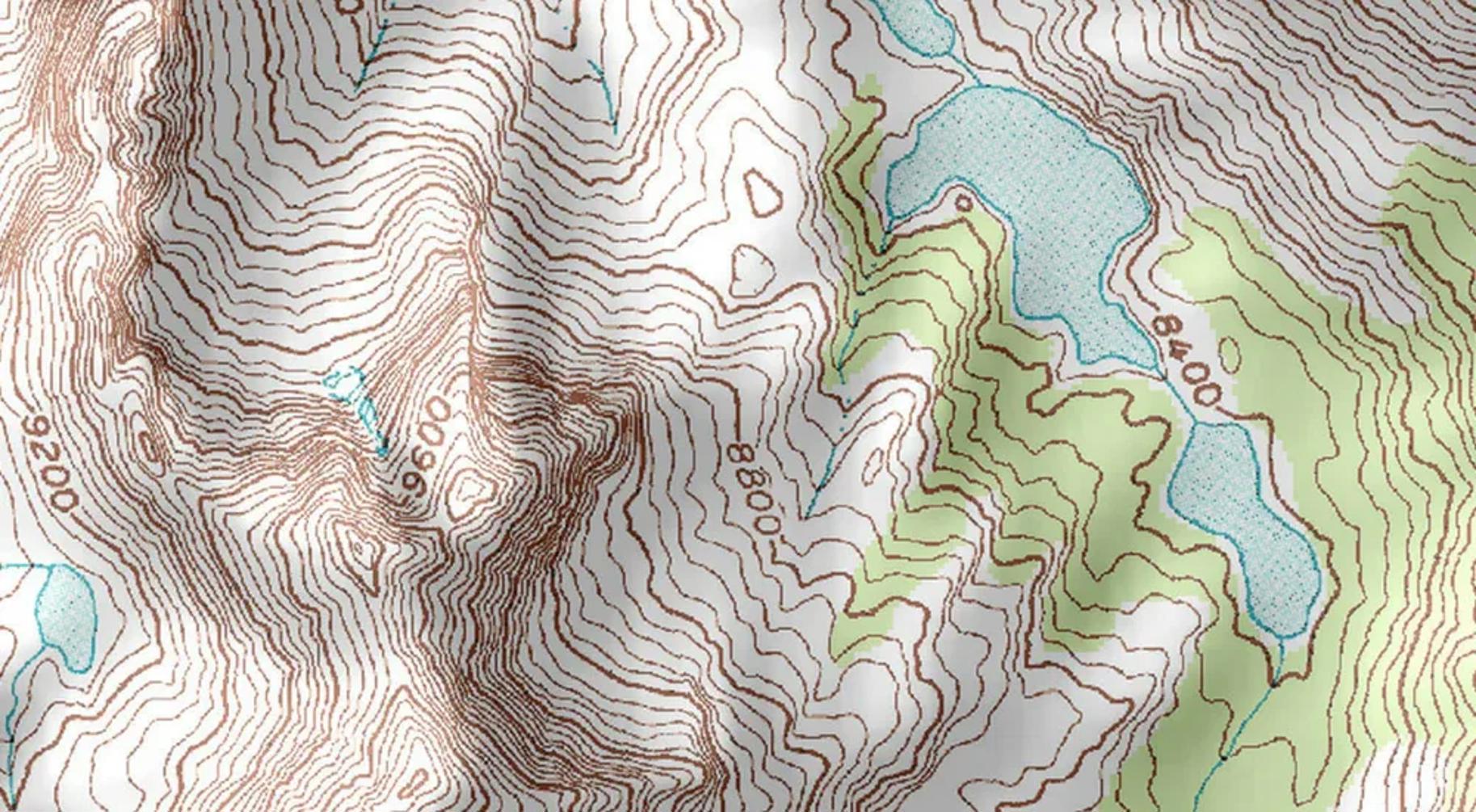
Detailed terrain models for engineering projects
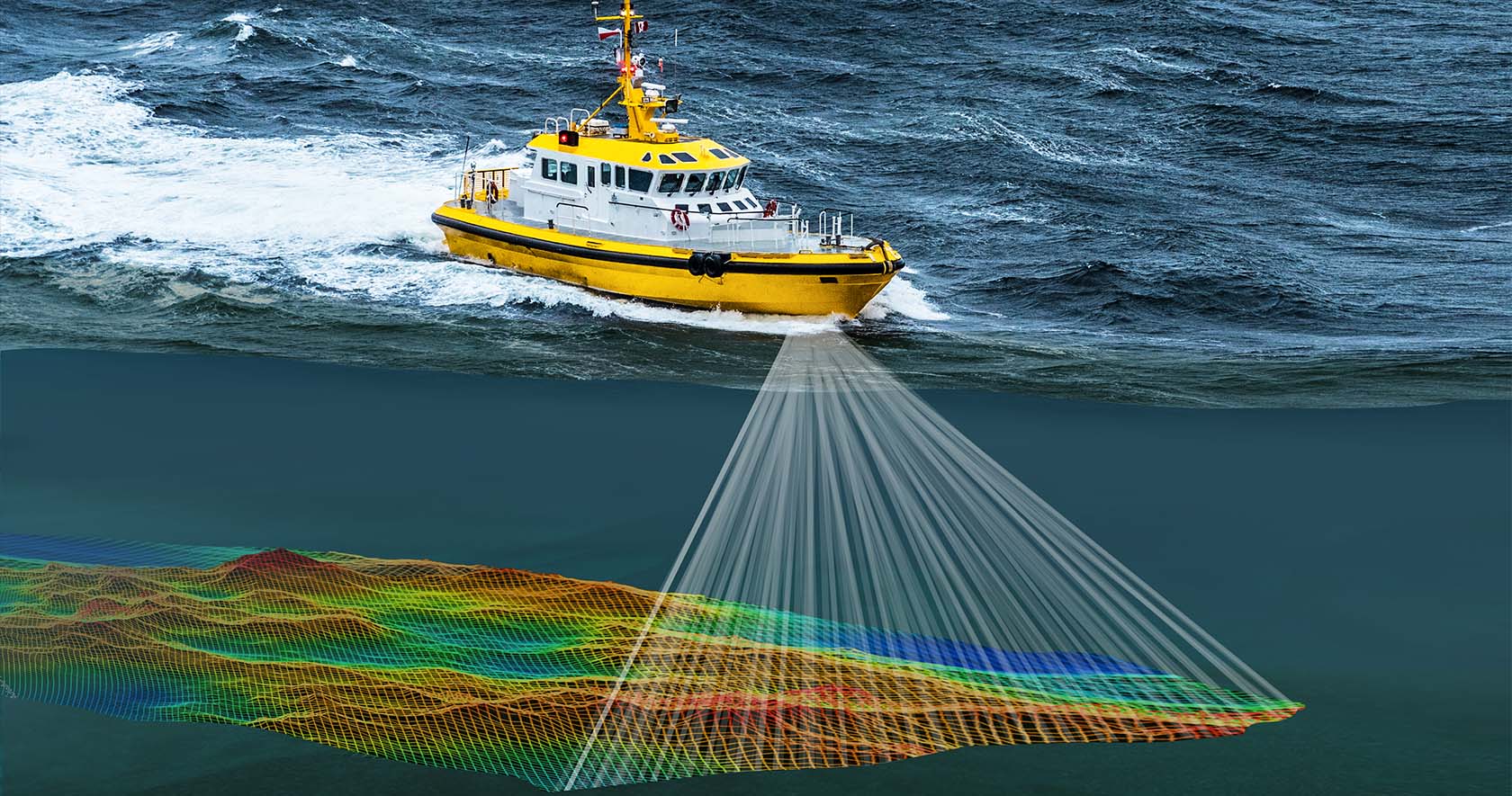
Underwater topography mapping for marine construction
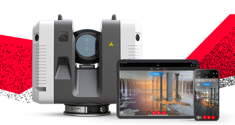
Accurate 3D digital replicas using point cloud technology
Training in GNSS, total station, drone mapping, 3D laser scanning, AutoCAD, GIS, and LIDAR surveying
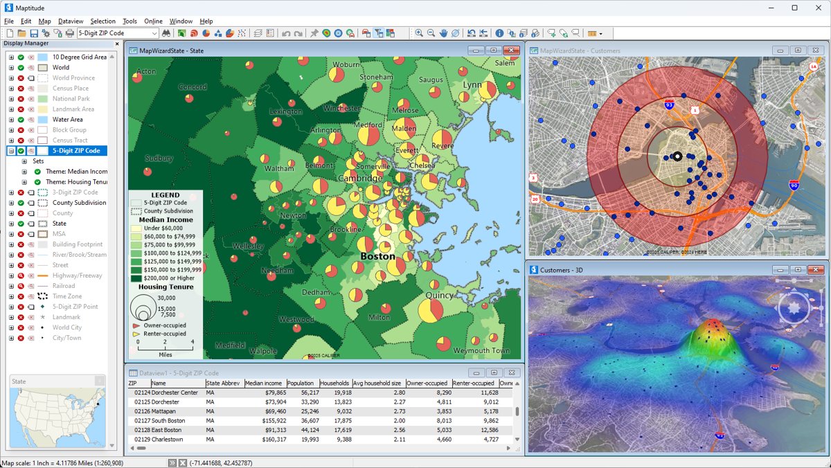
Geographic Information Systems for spatial data visualization, analysis, and management
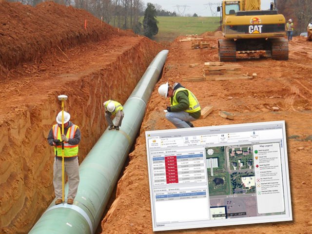
Precise surveying for pipeline route planning and monitoring
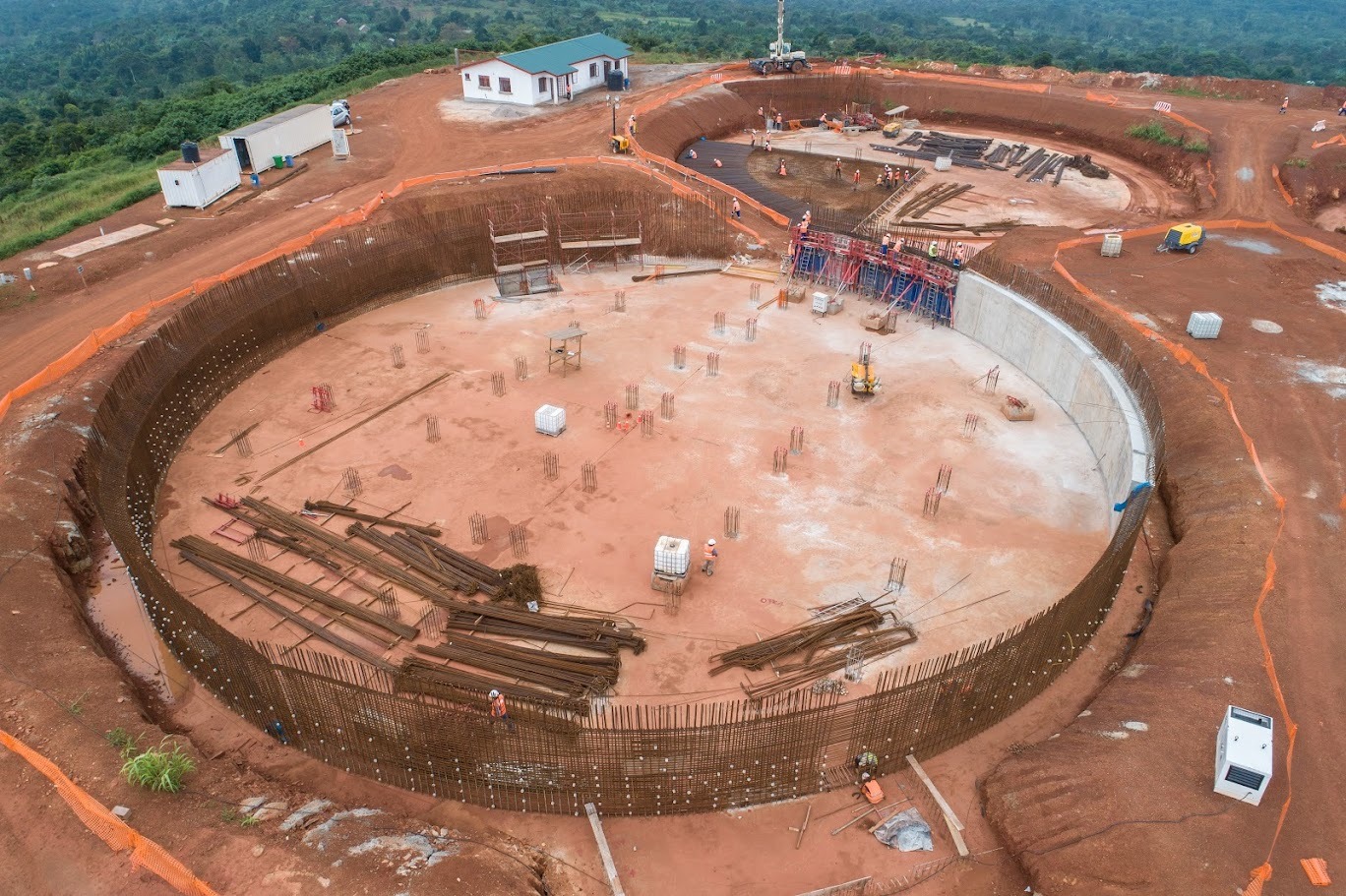
Documentation of completed construction projects
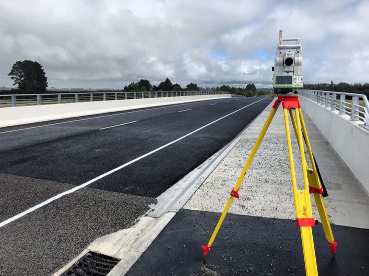
Surveying for road, railway, and infrastructure planning
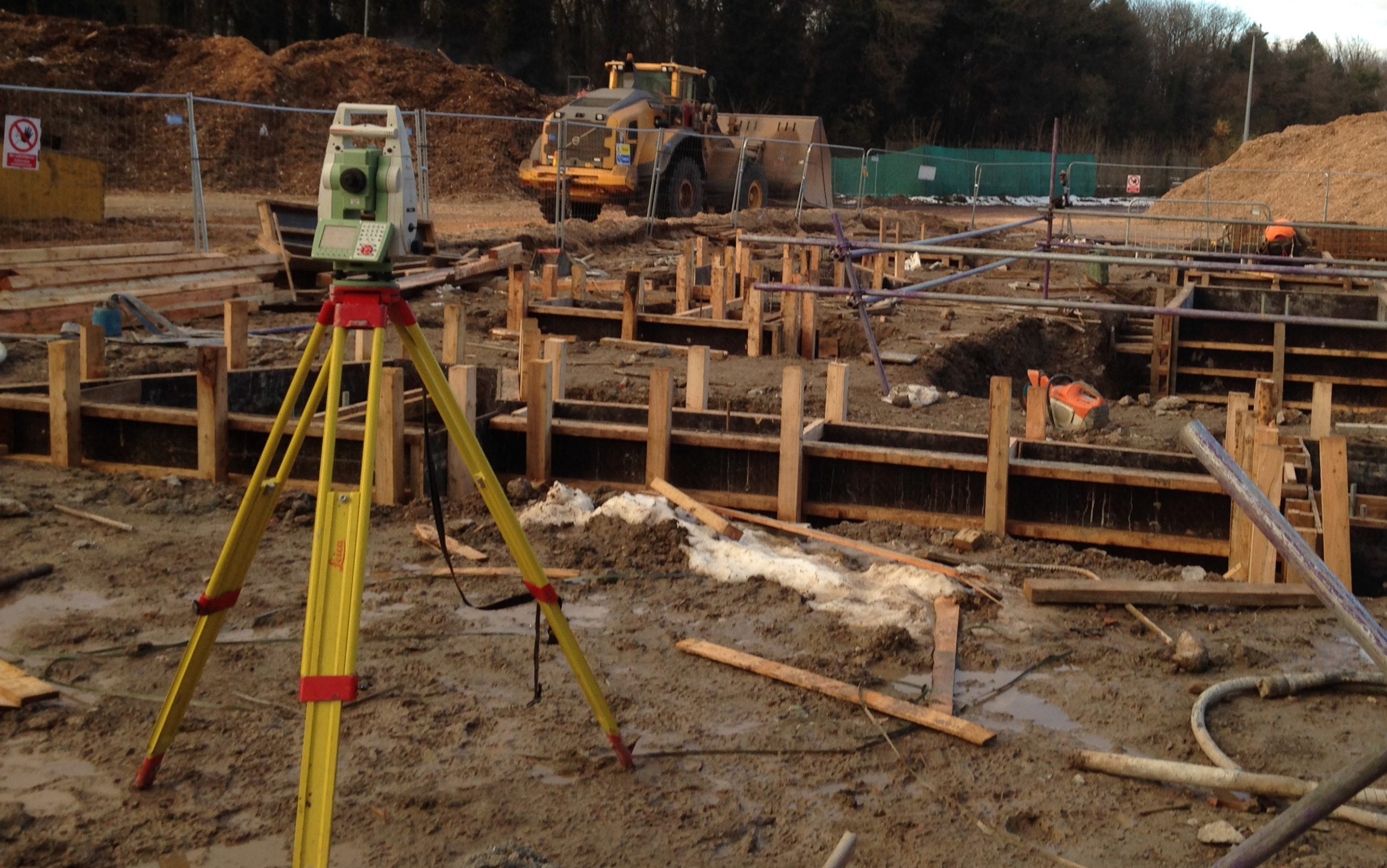
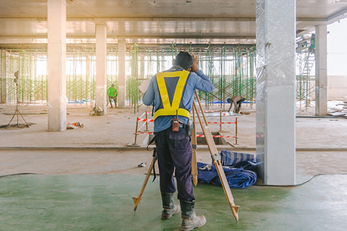
Precise positioning of construction elements