Topographic Survey
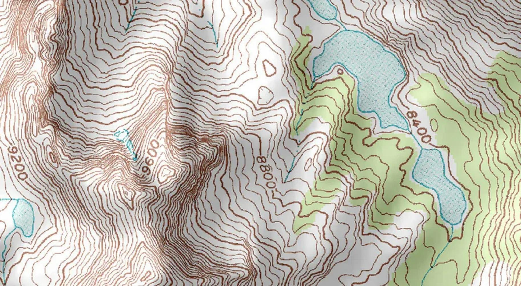
Our topographic survey services provide detailed three-dimensional representations of terrain features, essential for engineering design, construction planning, and land development projects.
Topographic Survey Services:
- Detailed terrain mapping and contour generation
- Digital Terrain Models (DTM) and Digital Elevation Models (DEM)
- Natural and man-made feature identification
- Elevation data collection and analysis
- Cross-section and longitudinal section generation
- Volume calculations for earthworks
- CAD deliverables in multiple formats
- Integration with engineering design software
Applications:
Topographic surveys are essential for road design, building construction, drainage planning, mining operations, environmental studies, and infrastructure development. Our surveys provide the foundation for accurate engineering design.