Drone / Aerial Survey
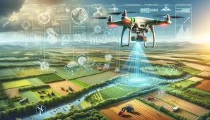
Our drone survey services utilize advanced UAV (Unmanned Aerial Vehicle) technology to capture high-resolution aerial imagery and spatial data quickly and cost-effectively for various applications.
Drone Survey Capabilities:
- High-resolution aerial photography and videography
- Orthophoto and orthomosaic generation
- Digital Surface Models (DSM) and Digital Terrain Models (DTM)
- 3D modeling and point cloud generation
- Volumetric calculations for stockpiles and earthworks
- Progress monitoring for construction projects
- Thermal imaging and multispectral analysis
- Inspection of infrastructure and buildings
Advantages:
Drone surveys offer rapid data collection, access to difficult terrain, cost-effectiveness, and minimal disruption to operations. Ideal for large-area mapping, construction monitoring, mining operations, and infrastructure inspection.