Hydrographic / Bathymetric Survey
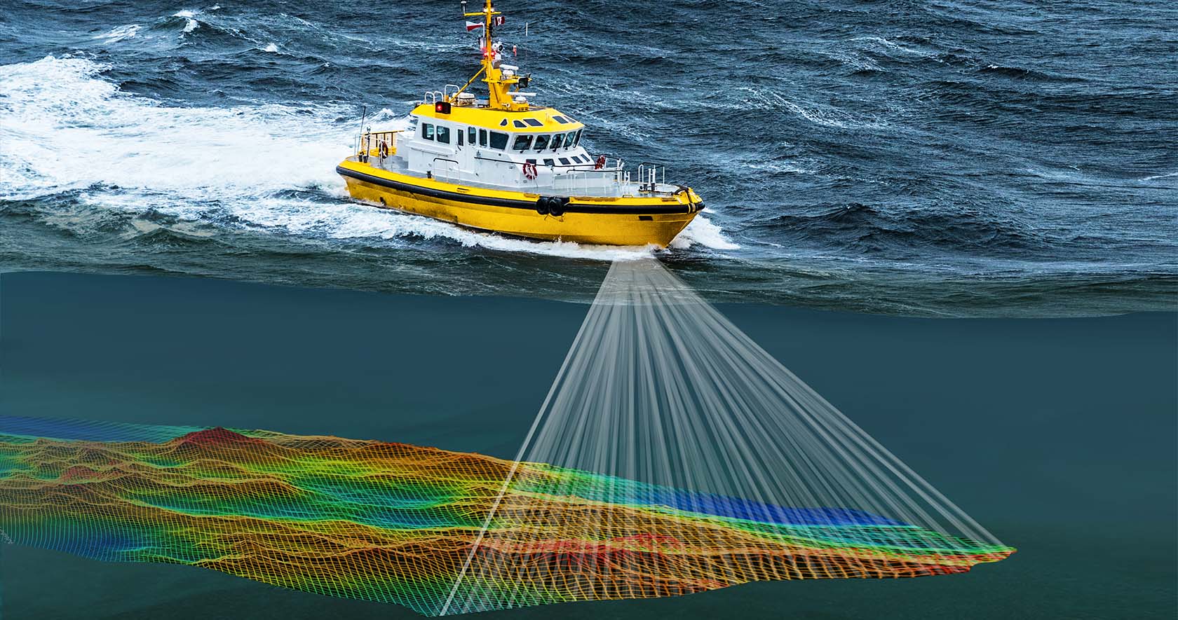
EVIMERIA SURVEYS provides specialized hydrographic and bathymetric survey services for mapping underwater topography, supporting marine construction, dredging operations, and coastal development projects.
Hydrographic Survey Services:
- Single-beam and multi-beam echo sounding
- Underwater topography mapping
- Bathymetric contour generation
- River, lake, and coastal surveys
- Dredging volume calculations
- Harbor and port surveys
- Pipeline and cable route surveys
- Tidal observation and analysis
Key Applications:
Our hydrographic surveys support marine construction, port development, dredging operations, offshore installations, environmental monitoring, and coastal engineering projects. We deliver accurate underwater terrain data for safe and efficient marine operations.